QUBES / Lessons
Island biogeography, spatial ecology, and macroinvertebrate species diversity in Richmond’s rock pools
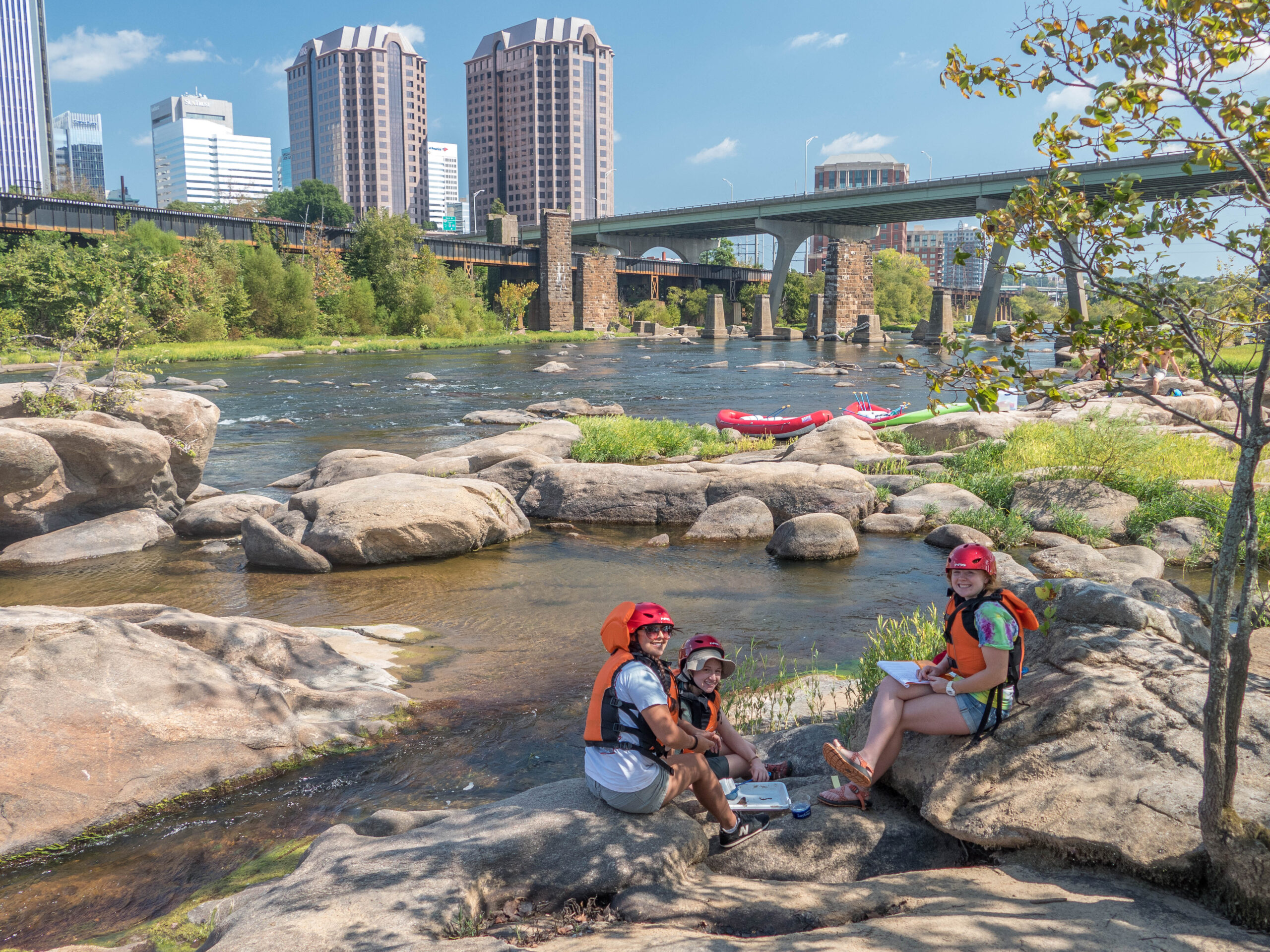
In the heart of Richmond, VA a series of depressions dot the banks of the James River. These rock pools were created by years of water and debris boring into the underlying bedrock. Exposed by an upriver dam, the rock pools are a patchwork of aquatic habitats dynamically interconnected by seasonal flooding that have been carefully mapped using photography from Unmanned Arial Vehicles(UAVs). In this lab, students use spatial biodiversity data from these pools to investigate principles of island biogeography.
This lesson teaches students introductory level concepts for working with spatial data and producing effective maps. Students use ArcGIS 10 to calculate spatial attributes and perform basic spatial analysis to conceptualize species distribution, measures of pool biodiversity, pool isolation and distance of pools to sources of biodiversity. This module has been used an introductory ecology and geography course. It is designed to introduce students with no background in ArcGIS to spatial analysis while teaching fundamental ecological concepts.
Educators
- Nadia Bukach
- Todd Lookingbill
- Andrew Davidson
- James Vonesh — Virginia Commonwealth University
- Kristine Grayson — Virginia Commonwealth University